TREKKING
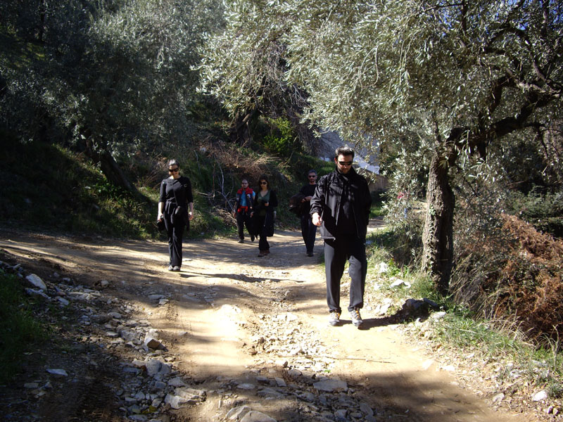
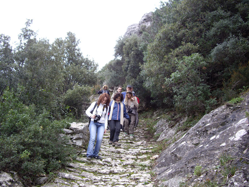
Mt Pelion is a mecca for hikers, as the proximity of the mountains and the sea and the verdant surroundings with the majestic trees and ancient paths offer a number of routes of varying difficulty suitable for all ages.
The area around the AMANITA boutique hotel is ideal for trekking amid the magnificent natural environment, no matter what the season.
Favourite routes
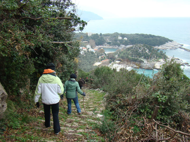
From Tsagarada to Damouchari: The classic route
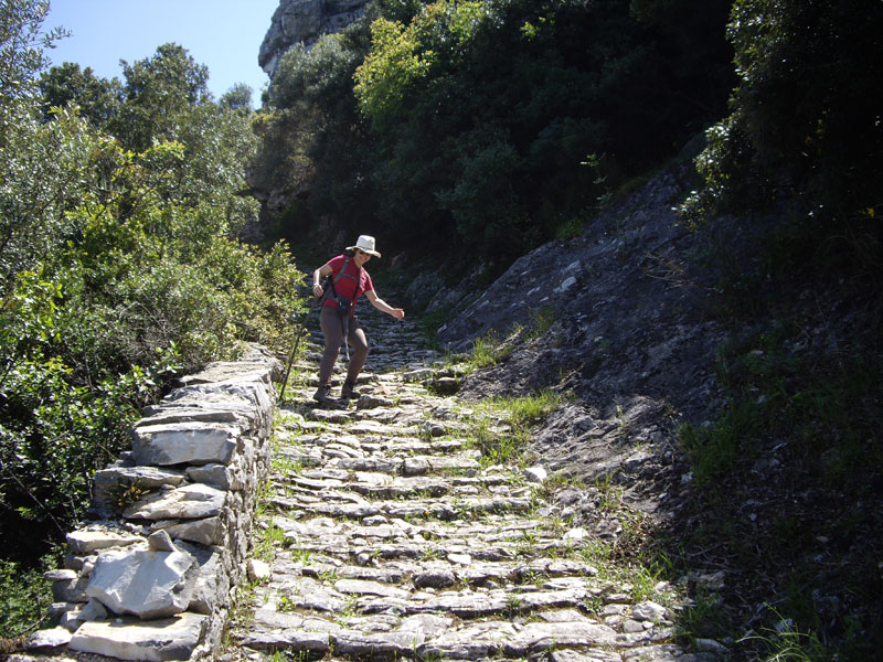
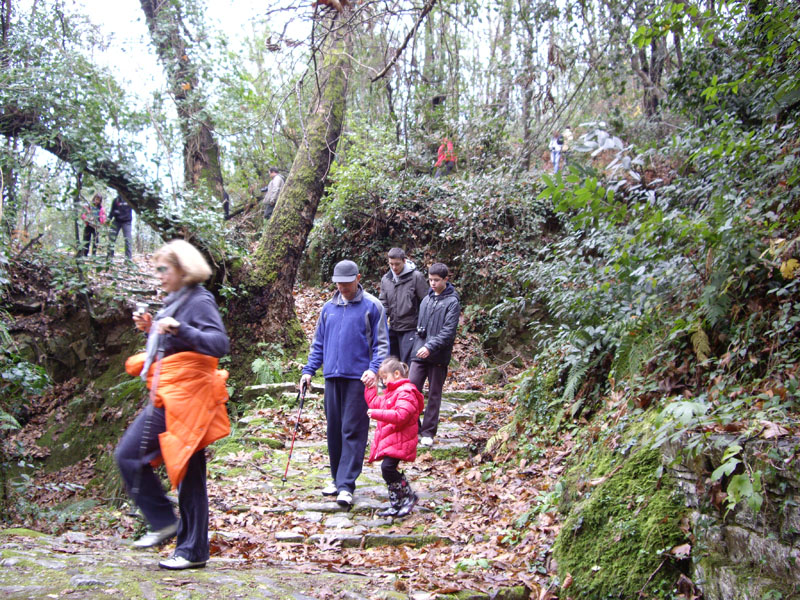
Trekkers start off from AMANITA boutique hotel and head down the old stone-paved path that leads to the small seaside village of Damouchari, following in the footsteps of the villagers of Tsagarada who took this route in olden times to bring their goods down to the area’s only natural harbour. The route crosses through forest and over small bridges, with natural springs along the way. In the last section of the trail, as we near Damouchari, trekkers can enjoy the view from the “kangioli” (stone path) to the tip of northern Mt Pelion and Halkidiki.
Duration: 85 minutes downhill, 90 minutes uphill
Degree of difficulty: average
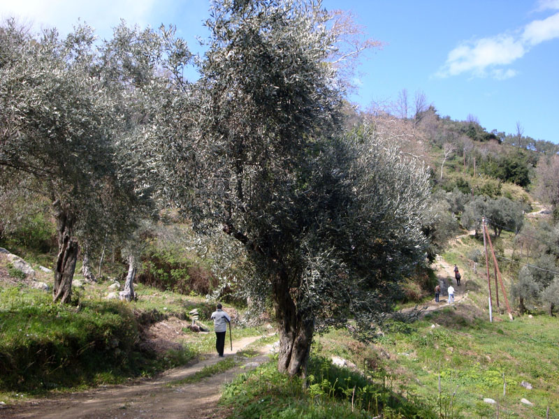
From Mylopotamos to Limnionas: Combining 2 amazing beaches
Trekkers will start off from Mylopotamos, the best-known beach near Tsagarada. The destination is Limnionas, a lesser-known but equally beautiful beach. Along the way, trekkers will encounter wooden bridges, chapels and springs. The path follows the rocky coastline through orchards and olive groves with old stone huts, and terminates at Limnionas Beach, cut in two by a large fallen rock.
Duration: 60 minutes there and 60 minutes back
Degree of difficulty: easy
From Agia Paraskevi to Taxiarches: Joining the 2 main sections of Tsagarada
Trekkers start out from the AMANITA boutique hotel and climb up to Agia Paraskevi Square with its thousand-year-old plane tree. The trail passes by the stone-built primary school and Achillopouleios Trade School buildings, before re-entering the chestnut forest. After crossing the Mylopotamos road, the trail continues through the Taxiarches neighbourhood with its old houses and carved stone doorways, and fountains with ice-cold mountain water flowing, to end up in the Agii Taxiarches church square. On the way back, trekkers can take an alternate route around the side of the church toward the Platanakia ridge, heading toward the Sourvia lookout point, which affords commanding views over the Mylopotamos river gorge, before returning to the Guesthouse via the Filaretou ridge.
Duration: simple trail route, 100 minutes total; extra route, add 60 minutes.
Degree of difficulty: easy
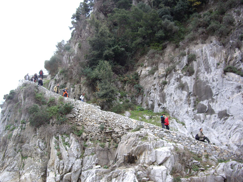
From Fakistra to Agios Antonios: The unknown beaches
Trekkers set out from Fakistra, the small charming beach with the waterfall, and then continue on in parallel with the seafront along a dirt path that wends its way between the olive trees. Immediately afterwards, trekkers will descend into the Panagia Megalomata cave, which once housed a “secret school” during the Turkish occupation. As the trail continues, trekkers pass the half-ruined chapel of Agios Nikolaos and descend through an olive grove to a rocky beach. A fresh-water spring bubbles up just in front of the chapel of Agios Antonios, at a depth of a few metres in the sea. The path is continued and ends at Damouchari beach.
Duration: 60 minutes there and 60 minutes back
Degree of difficulty: average
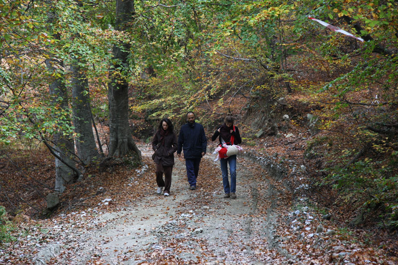
To Agios Athanasios en Atho: a walk through the forest above Tsagarada
Trekkers start off from Agia Paraskevi Square and head up the main road. The route continues ever upward along a rural road, passing through orchards and groves of apple trees and horse and sweet chestnut trees, and then follows the old cobblestone path into a beech forest. Trekkers can have a rest at a specially landscaped area with a fountain in front of the chapel of Agios Athanasios the Athonite. The return route is down the other side, taking trekkers through the forest to the Taxiarches neighbourhood.
Duration: 100 minutes there and 100 minutes back
Degree of difficulty: average
From Palio Gefyri to Xourichti: the old road to Milies
Trekkers set off from the main entrance to Tsagarada and head down to the old stone bridge which crosses the Mylopotamos River. The trail then climbs up towards Xourichti along the old paved path which led to Milies. The trail goes as far as the stone fountain and large cistern where trekkers will have a chance to rest at the chapel of Agios Konstantinos and Agia Eleni.
Duration: 40 minute there and 40 minutes back
Degree of difficulty: average
From Tsagarada to Karavostasia: Orchards & the wide open sea
Trekkers will rediscover this trail now covered in vegetation which leads down to the rocky Karavostasia coastline. The trail passes through olive groves and citrus fruit orchards, leading trekkers to a tiny chapel dedicated to the Virgin Mary built inside a cave. On the adjacent beach, trekkers will climb up on the “thronos”, a towering rock edifice in the shape of a throne, to look out over the northern Sporades islands before heading back though a forest of lemon trees.
Duration: 45 minutes downhill, 50 minutes uphill
Degree of difficulty: average. The path is crossed at various locations by a recently built road.
See also on www.pelion-paths.gr:
- Kissos – Agios Ioannis
- Kissos – Mouresi
- Mouresi – Agios Ioannis
- Agios Ioannis – Fakistra
- Milies – Tsagarada